Downloads and returns a data frame containing the points that make up the centroids for each of the Australian electorates in the desired federal election.
nat_data_download(year, ...)Arguments
- year
Desired year, must be one of 2001, 2004, 2007, 2010, 2011, 2013, 2016, 2019
- ...
Additional arguments passed to `download.file`
Value
A data frame with data associated with each of the Australian federal electorates
id: Numeric identifier for the polygon
elect_div: Electorate division name
state: abbreviation of the state name
numccds: AEC variable that might be filled with meaning or a description down the road
area_sqkm: combined square kilometers of each electorate
long_c: longitude coordinate of electorate (polygon) centroid
lat_c: latitude coordinate of electorate (polygon) centroid
x: latitude coordinate for plotting a cartogram
y: longitude coordinate for plotting a cartogram
radius: variable used in the construction of cartogram points
Examples
library(eechidna)
library(dplyr)
library(ggmap)
#> ℹ Google's Terms of Service: <https://mapsplatform.google.com>
#> ℹ Please cite ggmap if you use it! Use `citation("ggmap")` for details.
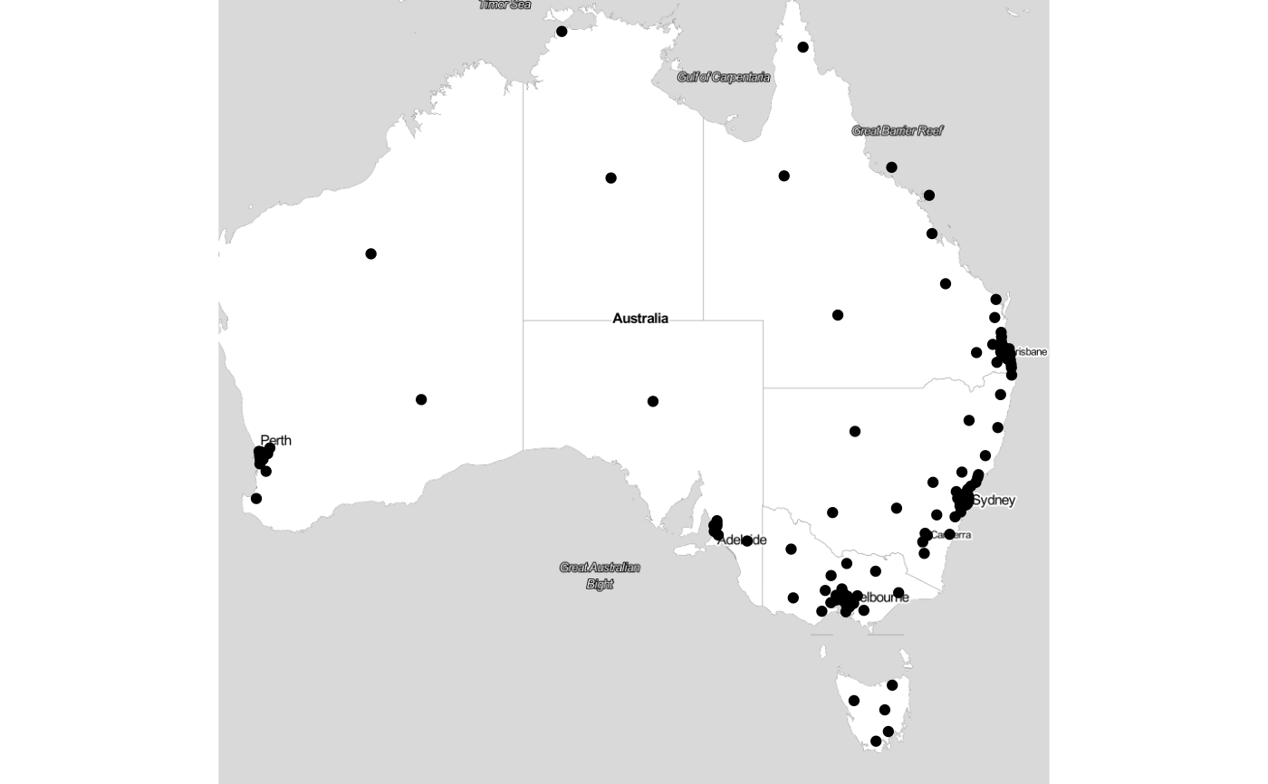
nat_data19 <- nat_data_download(2019)
nat_data19 %>%
qmplot(long_c, lat_c, data=.)
#> ℹ Using `zoom = 5`
#> ℹ Map tiles by Stamen Design, under CC BY 3.0. Data by OpenStreetMap, under ODbL.